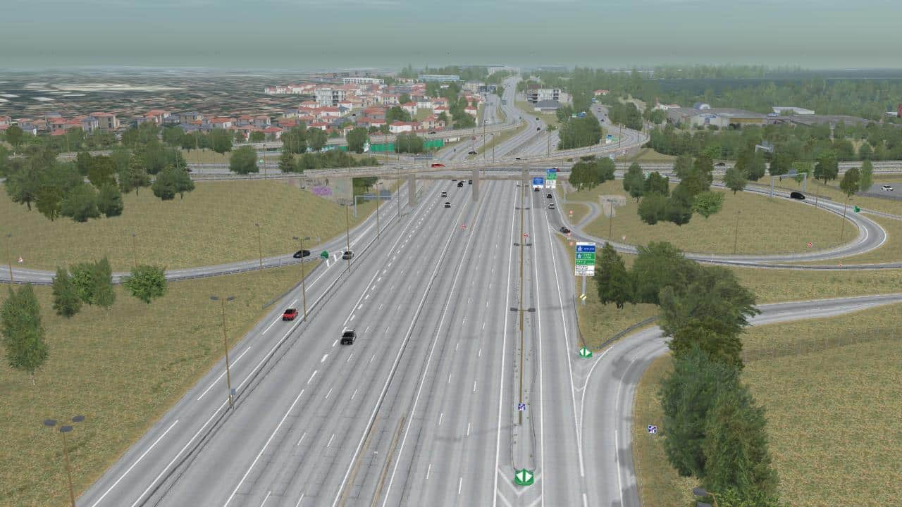
The A86 road network have been designed and created to reproduce two of the most famous and used French national roads. Benefiting of AVSimulation expertise, the road network has high precision in term of curves, slopes, banking, signs, markings, etc. The 3D background has been optimized for a 60Hz rendering and offers a high graphic quality. Advanced materials are integrated to take advantages of SCANeR studio’s advanced rendering capabilities.
With its variety of traffic lanes, several motorway interchanges and the traffic signs, this road network is a realistic environment which will allow you to carry out all your tests, especially on fast lanes (target detection for example). To develop this road network, a real LIDAR acquisition has been used which allows to simulate very faithfully the A86, whether it is at the level of the markings on the ground but also at the level of the environment (gas station, information signs, etc.)
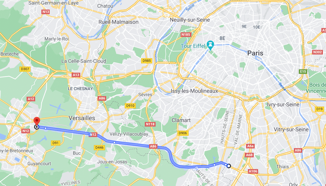
A86 / N 118 Google Interchange
A86
A86 Overview
| 13,5 km of roads | Geo-referenced |
| Right hand traffic | Respect of altimetry |
| High quality graphic | Realistic 3D objects (Gas stations, trees, bridges, tunnels…) |
| Driving side | Right Hand Traffic by default. Using the SCANeR studio mirror functionality this networks could be Left Hand Traffic: Change traffic side |
| Specific features |
+ Respect of altimetry |